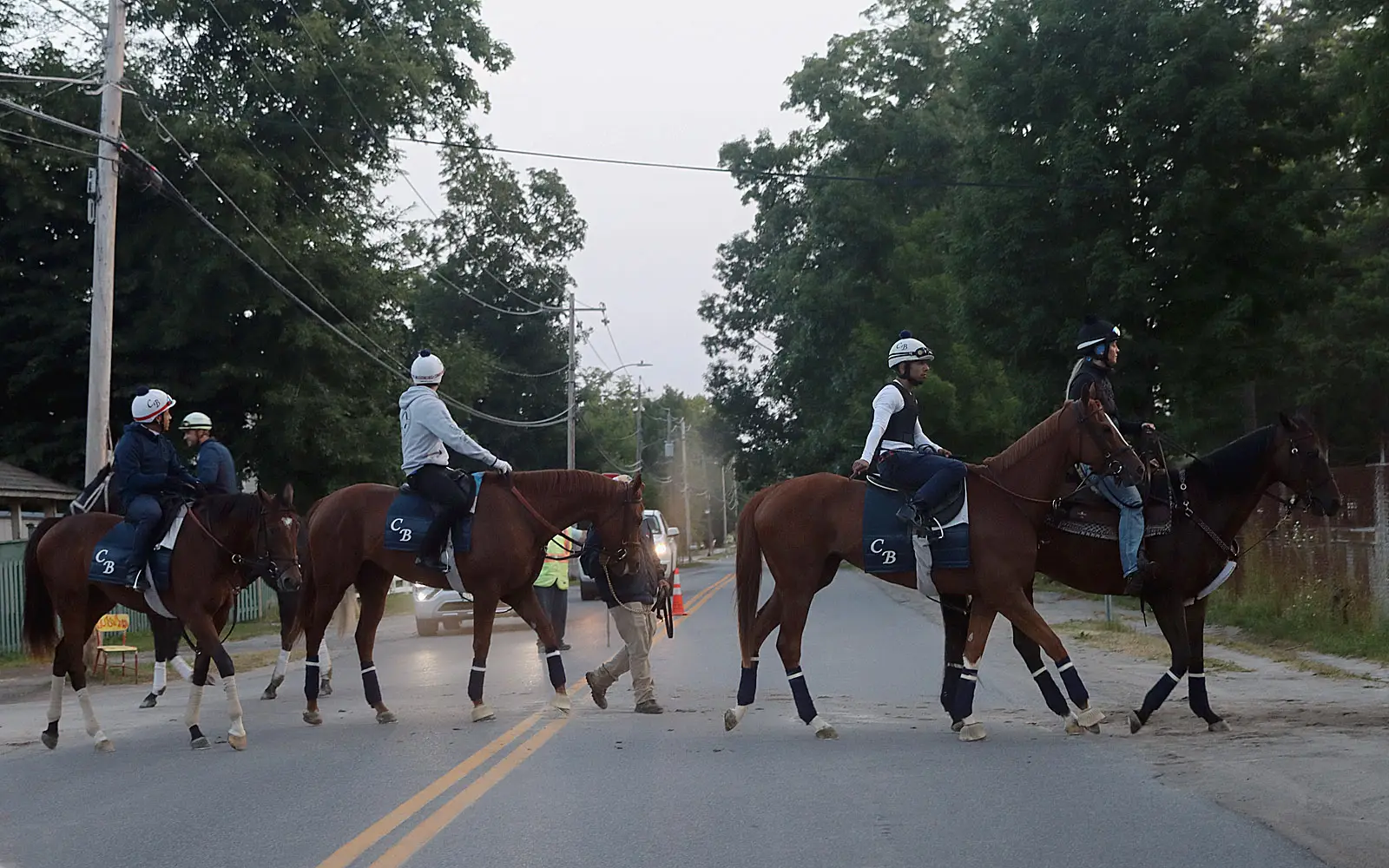
When you walk—or run or snowshoe or mountain bike—through Saratoga County’s new Graphite Range Community Forest, it seems like the trail system has been there forever. That’s because Steve Ovitt designed it that way.
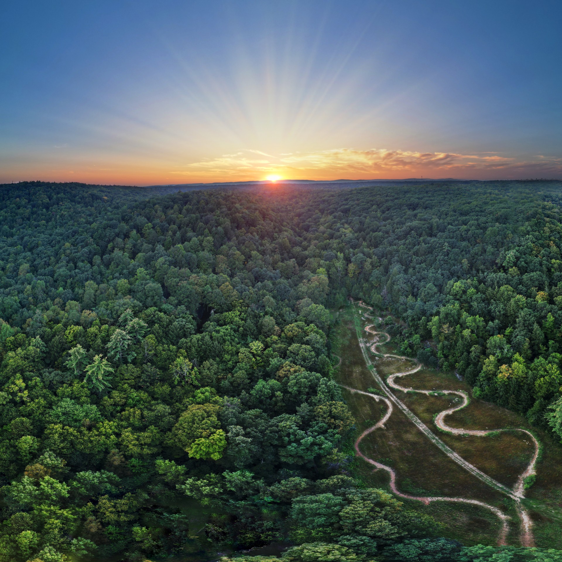
Ovitt, a retired DEC forest ranger living in Warren County, is the owner of outdoor recreation development firm Wilderness Property Management (WPM), which plans, designs and constructs trail systems all across the region. His latest project—Graphite Range—is a mixed-use network of mountain biking and hiking trails located just past Nové Italian Restaurant on Route 9 in Wilton that will eventually connect to Daniels Road State Forest. While Graphite Range opened to the public in December, you’d never know it’s brand new, given the lack of felled trees and disturbed wilderness you’d expect to see around a recently constructed trail.
“The difference between a road and a trail is that roads go through things,” says Ovitt of how his company works with the environment instead of against it. “Trails go around larger trees, they go around rocks—they roll with the microtopography. A good trail works with the land and reflects the land that it’s on. It’s not just a hole through the woods.”
Therefore, a good trail-maker does more than just cut a hole through the woods; a good trail-maker is a surveyor, topographer, cartographer, ecologist, physicist, builder and—perhaps most importantly—a designer.
WPM’s design process begins with an assessment of a property and what type of recreation the client hopes to host there. In the case of Graphite Range, Ovitt and his team worked with Saratogian Ethan Winter, who donated the land for the 200-acre property, which previously was the site of a graphite mine and, more recently, a driving range. After the initial assessment, the pair divided the land into three areas—the mountain bike area, where the nature of the ground and environment lent itself best to singletrack trails; the more serene “wilderness” area located south of a babbling brook; and a historical area, to which users who crave a destination could hike to see the remains of the old mines.
Those three geographic distinctions informed Ovitt’s next step: designing the trails for specific types of recreation. On the south side, the meandering trail was mapped out to follow the bank of a stream for maximum immersion in nature. The mountain bike trails were created with optimum gradients and turn radiuses that make it possible to travel along them with speed. And the preexisting roadways that miners once used to transport graphite now transport sightseers to the key historical features on the property.
The next step is sustainable and environmentally sound trail design—making sure there are enough drainages to direct water off trails, adding additional topsoil to account for the inevitable “cupping” of trails from compaction, and hardening areas known to possess subsurface water with rock so that they don’t turn to mud (a problem trail builders in the drier western United States rarely have to deal with). “We’ve got a hundred miles of trail out there,” Ovitt says of his company’s vast portfolio of trail networks. “And there isn’t an eroded piece of trail pretty much anywhere.”
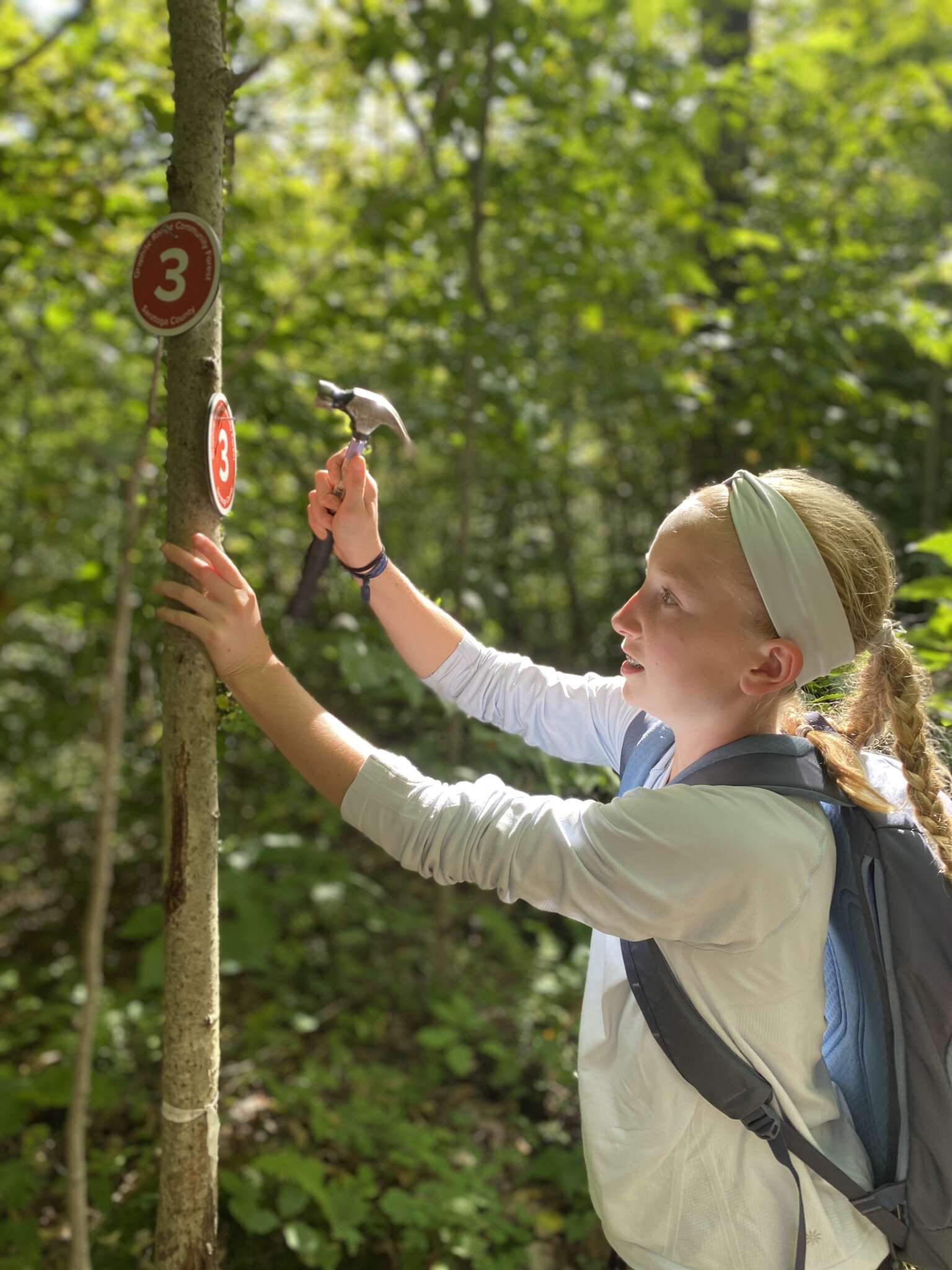
For the fourth and final piece of the design process, Ovitt looks to a trail’s difficulty rating. Graphite Range’s mountain bike trails are labeled intermediate, making them the closest such trails to Saratoga proper, which offers only the beginner-level trails at the Spa State Park and advanced-level trails at Daniels Road State Forest. “You start off at Route 9, and there’s no doubt that you’ve got to climb that hill,” Ovitt says of the open, steep area right next to the parking lot. “We used literally every inch we could between property boundaries and limiting topographical features to create a design that allows an intermediate rider to climb that hill and descend it. We’re looking at it so specifically that we’re counting pedal strokes: How many pedals is it going to take to get over that rock?” WPM even utilizes a series of proprietary design standards, including a process that determines which rocks to take off a trail and which to leave.
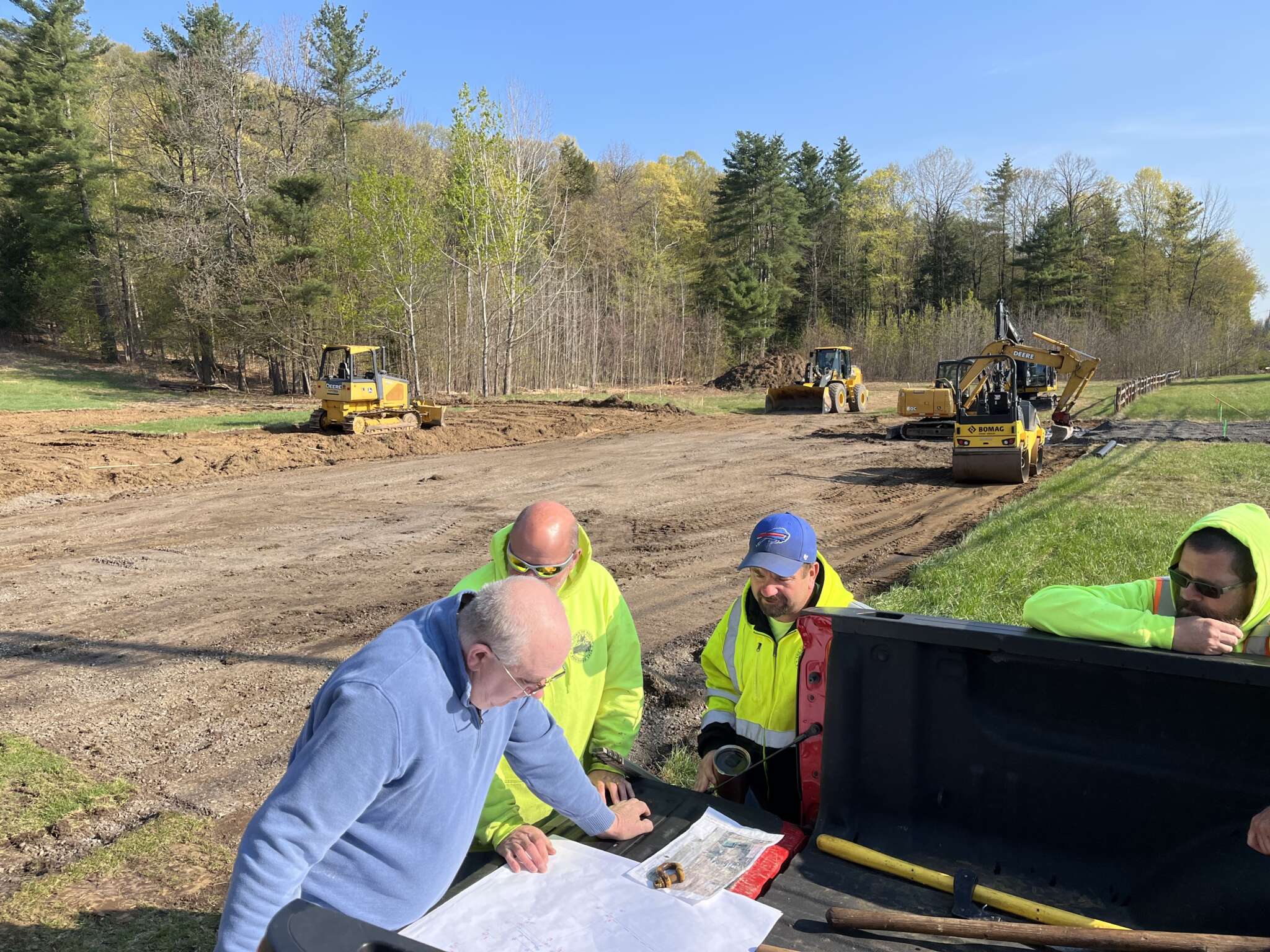
Put those four elements together; bring in a mini excavator, specialized hand tools, nets, cables and other machines; and a year of planning followed by a year of construction later? Bam. You’ve got yourself a trail system. Then install fencing, signage and a parking lot; wait for Saratoga County to approve everything; and a few months later? Voila. You’ve got yourself a community forest.
“I’m so excited because of the way that it’s bringing people in the community together to share a special place,” says Winter, who began acquiring the land for conservation purposes more than a decade ago. “It’s really exciting to see how well designed this whole property is and how people are interacting with that intentional design. People are commenting on its signage and on the trail-building being really suitable for what it’s designed for. People might want the parking lot to be bigger, but we designed it so that you wouldn’t feel overcrowded there.”
Beyond the hoopla surrounding the trail design, the opening of Graphite Range Community Forest in and of itself is monumental. “It’s the first officially recognized, US Forest Service–funded community forest in Saratoga County, and one of the first in the state,” says Rob Davies, executive director of Saratoga PLAN, which will work with a boots-on-the-ground volunteer advisory committee to manage the county-owned land going forward. “It’s a community forest, but it’s also a forest for the community.”