I’m looking out the window at saratoga living headquarters, and it looks like spring. Granted, our view is of the green cement side wall of the old Lillian’s Restaurant (soon to be the new Cantina) and my weather app says it’s below freezing, but a girl can dream. Here in Saratoga, spring fever hits early (this year, it was during that deceptively warm spell in mid-February) and doesn’t go away (we just can’t wait for warm nights out on Broadway). With the start of April, though, I think it’s safe to say spring is officially (almost) here.
Warm weather gets me excited for hiking. Yes, it’s technically still ski season—Killington’s snow is still in high supply—and yes, I did fit in a day hike in the Adirondacks between ski weekends this winter, but there’s something about leaving home without a winter coat that gets me pumped for muddy trails and mosquito bites. It’s recently come to my attention though, that there are upstanding citizens, right here in Saratoga, who may not feel the same way. It’s just not right.
So I’ve taken it upon myself to provide such people with an Upstate New York hiking starter pack. These five hikes—of increasing distance—are all in the Lake George region, and if hiked in succession, might not only whip you right into shape, but also get you hooked on hiking.
1. Pilot Knob Gazebo
Elevation: 1,000 feet
Vertical Rise: 620 feet
Round Trip: 2 miles
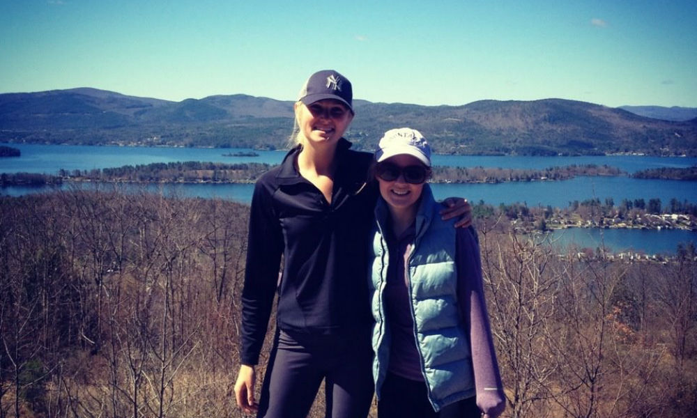
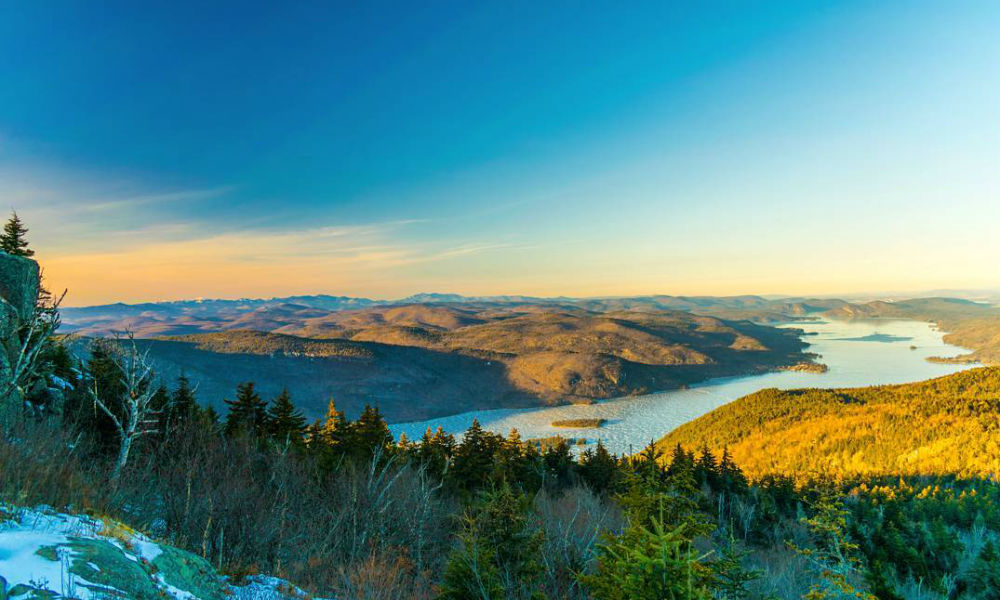
Let’s start out slow. The hike to the Pilot Knob Gazebo at the Schumann Preserve in Fort Ann is one of the quickest, easiest ways to cop a killer view of Upstate New York’s favorite lake. The hike’s moderately steep, but before you get so out of breath you want to quit, you’re there, looking out over the southern basin of Lake George.
How To Get There
Take the Northway to Exit 20, turn left and pass through the Lake George Factory Outlets. Turn right on Rt. 149E and left at the Queensbury Country Club onto Rt. 9L. Veer right onto Pilot Knob Road, and the trailhead, a gravel pull-off, will be on your right. Once you strap yourself into your hiking boots, follow the orange trail a quarter mile to a fork. From there, you can go east for seven-tenths of a mile to the gazebo, or south for a longer, more meandering eight-tenths of a mile to the same destination. If you’re wanderlust still hasn’t been satisfied, continue on the blue trail just south of the gazebo for nine-tenths of a mile to the waterfall loop and go south to the base of the falls, or northeast to the top.
How To Do It Right
After a crazy (not) New Year’s Eve spent watching college football with your parents, seize the new year on this short hike. Bring your Micro-spikes (rubber shoe covers with spikes on the bottom) and the leftover champagne. Toast the first of the year as two bald eagles circle overhead.
2. Prospect Mountain
Elevation: 2,030 feet
Vertical Rise: 1,512 feet
Round Trip: 3 miles
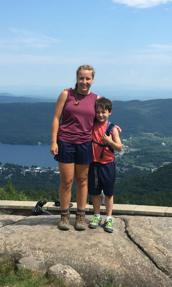
Prospect is probably the most hiked mountain in the Lake George region, and for good reason: It’s super accessible, has picnic areas on top and offers an amazing 100-mile view. But don’t let the amount of traffic it gets fool you: Prospect is a steep little mountain.
How To Get There
Take a right off Exit 21 of the Northway and then a left on Rt. 9 toward Lake George Village. Before you get into the downtown area, take a left on Mohican Street and then a right on Cooper Street. Right before you get to Cooper Street Extension, take a left and another left, which will bring you to a metal staircase that leads to a bridge over the highway. (Yes, it’s definitely scary your first time.) But after you make it past the speeding cars and avoid falling to your death (just kidding), it’s smooth sailing from there. The trail is well-marked and easy to follow, and you’ll only feel a little bitter when you see cars driving up the mountain at the two spots the hiking trail crosses the Prospect Mountain Highway. But at the top, you’ll feel accomplished, looking at the people in dress clothes who took the easy street up.
How To Do It Right
There’s really no way to do Prospect wrong—all 20 times I’ve hiked it, it’s been great. But if I hiked it a 21st time, I’d definitely do a solo hike some time in the morning, carry up a hammock and a book, and spend the day on the summit, which, along with picnic areas, has ruins of the Old Cable Railway, which once brought passengers up the mountain to the Prospect Mountain House, a hotel that’s since burned down.
3. Fifth Peak On The Tongue Mountain Range
Elevation: 1,813 feet
Vertical Rise: 1,560 feet
Round Trip: 4.7 miles
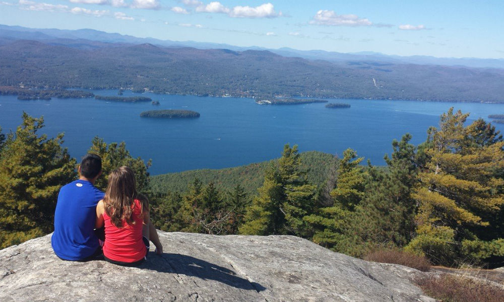
Back to the Queen of American Lakes we go. The Tongue Mountain Range, known for its colony of rattlesnakes (you’ll hear them in time to steer clear) juts into the lake near Bolton Landing in The Narrows. There are 25 miles of trails on the range, but for beginner hikers, the 4.7-mile Fifth Peak hike will be plenty. (It’s probably plenty for seasoned hikers, too.)
How To Get There
Take Exit 24 off the Northway and hang a right on Bolton Landing-Riverbank Road. Continue to the end, and turn left onto Rt. 9N. In about four-and-a-half miles, the Clay Meadow Trailhead will be on your right. At the trailhead, follow the blue markers through a tall red pine reforestation stand and across a marshy area. Three-tenths of a mile in, stay straight at the junction, following the red trail markers. After another 1.6 miles, take a right on the blue trail for a half a mile and then take the yellow-marked spur two-tenths of a mile to the peak, where you’ll find a lean-to and fire pit—and a killer view.
How To Do It Right
If you’re not trying to get to the point in a hike where you wish you were dead and curse your father for convincing you this was a fun one, don’t continue past Fifth Peak. The views may be amazing, as you follow the ridge all the way to the tip of the Tongue Mountain peninsula, but you’ll eventually tire of the never-ending up and down to get there. And once you do, you’ll have a gloriously tedious 4.8 miles back to the car. So instead, I would recommend going up to Fifth Peak on a weekend afternoon with some friends and a six-pack, and camp out at the mountain-top lean-to.
4. Buck Mountain
Elevation: 2,330 feet
Vertical Rise: 2,000 feet
Round Trip: 6.6 miles
By now, you’re definitely ready to tackle a more substantial hike. Buck is the big leagues; with a vertical rise of 2,000 feet, the mountain has the largest elevation gain on this list and is sure to get even a seasoned hiker’s heart pumping.
How To Get There
To find the trailhead, follow the directions above to the Pilot Knob Gazebo trail, and keep going. Just before you get to Camp Chingachgook, you’ll come to a well-marked parking lot on your right, and you’re there. Start along the trail—an abandoned road marked with yellow DEC signs and light blue horse trail markers—keeping right at the first fork and left at the second. Zig and zag up the mountain for about another mile, and take a left at the intersection marking the trail right to Inman Pond. Continue following the yellow trail, and you’ll eventually reach the rocky summit, a total of 3.3 miles from the parking lot.
How To Do It Right
Buck’s another hike you can’t go wrong with. Bring some friends and some lunch (and maybe a couple beers) and relax on the northwest-facing summit. To make the time pass quicker as you’re hiking, try playing “20 Questions” or Contact, the world’s best car game. After the hike, head to the beach (I would recommend the sandy area next to Million Dollar Beach) and soak your sore feet in the cold water.
5. Black Mountain
Elevation: 2,646 feet
Vertical Rise: 1,100 feet
Round Trip: 8.5 miles
Lastly, we head to the highest peak in the two mountain ranges that shelter Lake George: Black Mountain. The vertical rise isn’t nearly as large as Buck’s, but the trail to get to the summit is longer and more meandering. And it’s the only hike on this list that’s a loop, not an out-and-back.
How To Get There
Take Exit 20 off the Northway, go through the Lake George Outlets and take a right on Rt. 149E. Continue to Fort Ann and take a left on Rt. 4N toward Whitehall. Keep left in Whitehall on Rt. 22. Cross the south bay of Lake Champlain, take a left on Rt. 6 and another left on Pike Brook Road. A right on Adirondack Park Preserve will bring you right to the trailhead. The trail begins on a gravel road lined with red trail markers. About a mile in, you’ll reach an intersection. Follow the red markers along the right side of a field for 1.2 miles and take a right at the Lapland Pond Lean-to intersection. Continue following the red markers through one more intersection (you’ll go left), and you’ll eventually reach the wide-open summit which has a windmill and fire tower. After soaking up all the views you can (on a clear day you can see all the way to the High Peaks) continue on the red trail, which brings you down off the summit in a series of switchbacks. At an intersection about 40 minutes from the summit, you’ll veer off the red trail for the first time onto the yellow-marked trail. (The red trail continues to Black Mountain Point on the lake.) Thirty minutes later, after passing by several ponds, you’ll reach another intersection where you’ll go left on the blue trail. And 30 minutes after that, you should take the fork right onto the red trail to retrace your steps 1.2 miles back to your car.
How To Do It Right
Make it an overnight trip. Hike a couple miles into the Lapland Pond lean-to with a big group, grill up some hot dogs and continue your trek in the morning. But a word for the wise: don’t spend the whole trip wondering what that faint whirring sound is like I did: It’s not some sort of exotic bird—it’s just the windmill.
If you’ve completed all five of these hikes, you’re surely hooked on hiking. Stay tuned to saratogaliving.com for part two of this beginner hiker’s guide. Next stop: the High Peaks!