With increased interstate travel restrictions due to the pandemic—and new mandates limiting private gatherings to 10 people in New York State—this holiday season could be a lot less merry than we were all hoping it would be. But one upcoming “holiday” is sure to turn your bah-humbugs into ho-ho-hos.
Tuesday, November 17 is National Hiking Day, an unofficial national holiday (see: National Tortilla Chip Day) that requires neither crowds nor state line–hopping, and which can be observed pretty much anywhere there’s a path through the trees. To help prevent the spread of the COVID-19 virus, the Department of Environmental Conservation is urging New Yorkers to find a hiking adventure close to home. And as luck would have it, Saratogians have more than a few options. Check out these five great hikes within an hour and 15 minutes of Saratoga.
1. Moreau Lake State Park
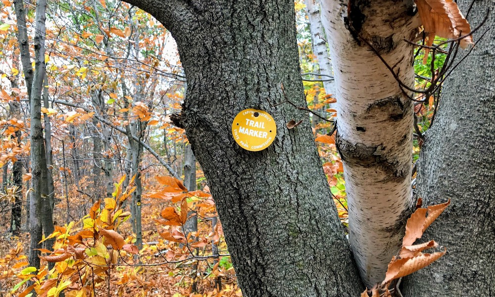
Celebrate National Hiking Day by taking a walk in the park…Moreau Lake State Park, that is. Known for its (seasonal) beach and picnicking pavilions, Moreau is also home to a beautiful network of trails. There are plenty of routes to choose from, but if you want the maximum number of steps on your smartwatch, go with the Western Ridge trail. You can take it as far as you’d like before turning around, or make it a loop by taking the Ridge Run trail to the Eastern Ridge trail (approximately six miles).
How to Get There
To get to the Western Ridge trailhead from Downtown Saratoga, take Route 9 north toward Wilton and take a left on Corinth Mountain Road. That will turn into Wilton Road before you take a sharp right onto Spier Falls Road. The trailhead will be just past the Spier Falls boat ramp on your right.
Pro Tip
The Moreau Lake Park Trail Map shows no fewer than six “scenic views” along the Western Ridge trail, but some of them are hindered by leafy trees. Views will be all the more scenic during the winter months.
2. Hadley Mountain
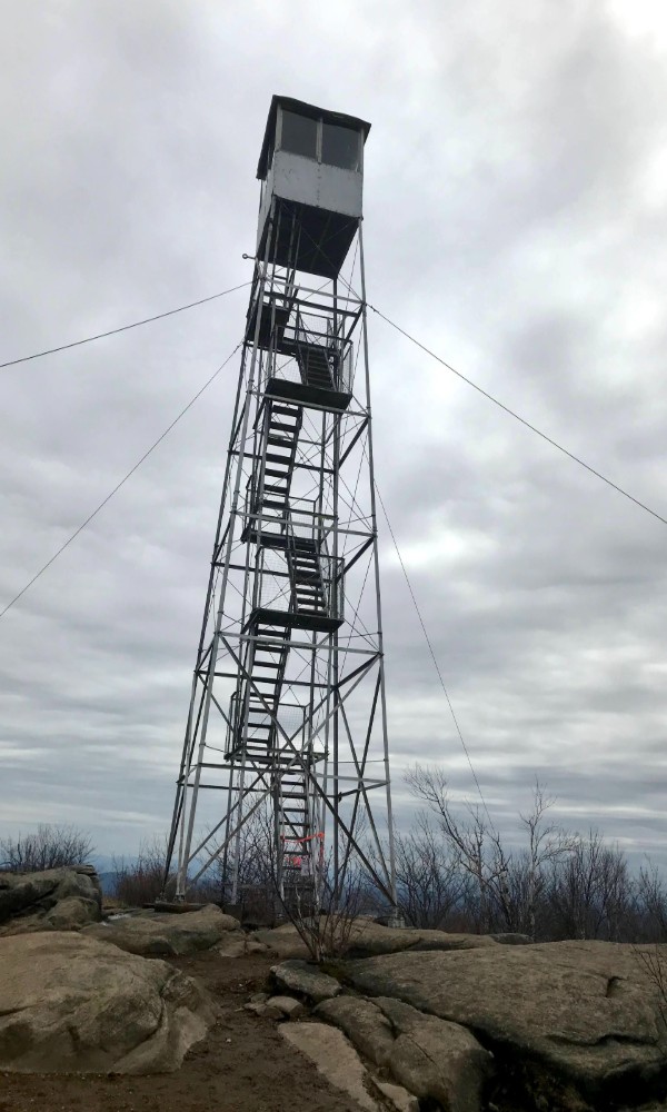
Saratoga County’s highest point (elevation: 2,675 feet) also happens to be just about at its northernmost point, in the town of Hadley. The town’s eponymous peak makes for a moderate 1.2-mile climb to a summit offering views to the east west and south, as well as a restored fire tower.
How to Get There
Take Route 9N north from Saratoga to Corinth. Keep left at the light to stay on 9N and then veer left onto Old Corinth Road. That will turn into Corinth Road and then Stony Creek Road after you cross the Sacandaga River. Take a left on Hadley Hill Road and then a right on Tower Hill Road, which will lead you to the trailhead on the right.
Pro Tip
It’s hard to believe you’re still in Saratoga County when you’re on the drive up to Hadley—let’s just say it gets very “country,” quickly. While your GPS may get you to the trailhead, there’s a good chance you won’t have service when you get back to your car, so make sure you remember the way home (or print out directions beforehand).
3. Sleeping Beauty Mountain
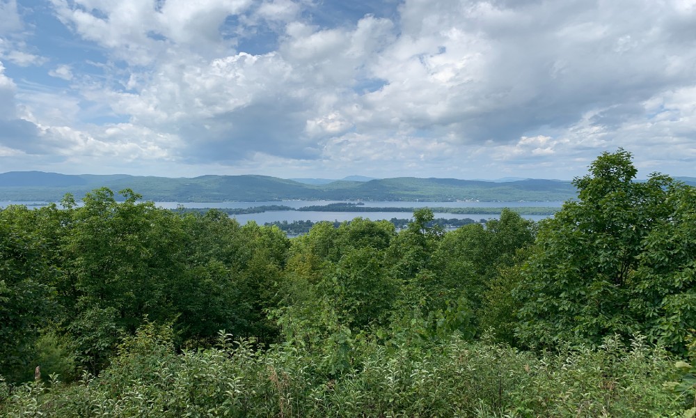
Part of the Lake George 12ster Challenge—which, like it sounds, is a hiking challenge involving 12 peaks around the “Queen of American Lakes”—Sleeping Beauty in Fort Ann is a 1,300-foot mountain that, despite the height, makes for an easy day trip. The peak is a ways away from the lake but offers sweeping views of the southern Adirondack Region.
How to Get There
Take I-87 north to exit 20 and turn left. Take a right on NY-149 E after you pass the Factory Outlets of Lake George, and then take a left on Buttermilk Falls Road. Keep left on Sly Pond Road and then keep straight on Dacy Clearing Road, which will bring you to the trailhead.
Pro Tip
From Dacy Clearing, the hike is pretty straightforward, and the trail will get you to the summit in a jiffy. Trying to navigate to the summit all the way from Lake George’s Log Bay is another story altogether. Trust us: do it by land, not by sea.
4. Crane Mountain
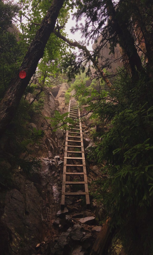
Located west of Lake George in Johnsburg, Crane is a steep little mountain with a rewarding summit. The most direct route takes you 1.4 miles straight uphill, and you’ll have to climb a wooden ladder to complete the oh-so-worth-it journey.
How to Get There
Hop on the Northway and head north. Take exit 23, turn left and then keep right on Route 9N. Take a left on Judd Bridge to cross the Schroon River and then right on River Street (NY-418). Keep left on 418 after crossing the Hudson and then turn right on Athol Road. Keep right on Athol and then left on High Street. Take a right on Mountain Road, which will turn into Valley Road. Turn left on Garnet Lake Road, which will turn into Ski Hi Road. The trailhead will be on your right.
Pro Tip
If you think you’re not on the trail anymore, you probably aren’t—turn around immediately. Otherwise, you’re going to be bushwhacking your way up the literal side of the mountain, which makes for an interesting, yet sometimes sketchy, climb.
5. Cat and Thomas Mountains
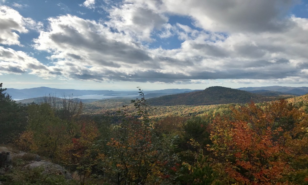
Also part of the Lake George 12ster challenge, Cat and Thomas, located just off of exit 24 on I-87, make for an easily accessible two-peak day. Thomas is the smaller of the two, and its summit is accessed by a wide, gravelly trail. The trail over to Cat is more rugged, but not too challenging.
How to Get There
Take the Northway to exit 24 and turn right. Another right will put you on Valley Woods Road, and the trailhead is a few hundred feet down on your right.
Pro Tip
If you park at the Cat and Thomas Preserves Trailhead, make sure you don’t end up at the Edgecomb Pond Trailhead. You’ll have to walk the two miles back to your car on the road.
—
For more local hikes, check out these five in the Lake George region and these five in the Adirondack High Peaks region.


